AcSIR Admission Jan 2027 Advertisement
- विवरण.
- श्रेणी:AcSIR Notifications.
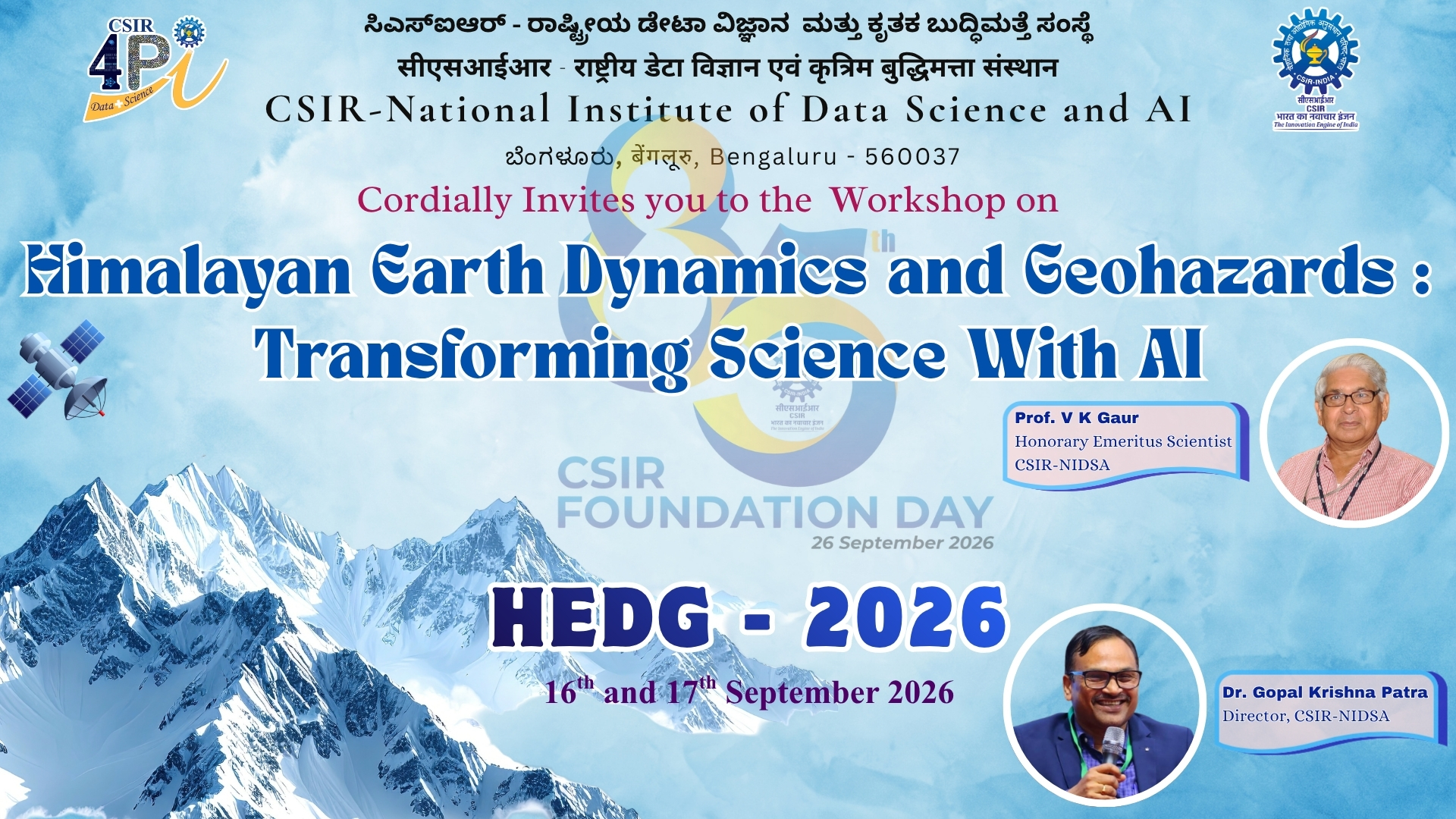
CSIR-NATIONAL INSTITUTE OF DATA SCIENCE AND AI
(Erstwhile CSIR Fourth Paradigm Institute)
A constituent laboratory of Council of Scientific & Industrial Research (CSIR).










by Sambit Prasanajit Naik, Siva Sai Kumar Rajana, Sampad Kumar Panda, Chiranjeevi G. Vivek & Devanshu Ghildiyal
This study examines the Co-seismic Ionospheric Disturbances (CIDs) triggered by Mw 7.6 Cayman Islands earthquake along the transform fault setting in the Caribbean Sea on 8 February 2025 using the GNSS-based Total Electron Content (TEC) observations. The significance of characterizing the effects of this particular earthquake event through probing ionospheric perturbations lies in its occurrence under quiet solar and geomagnetic conditions. This provides unambiguous identification of ionospheric perturbations caused by lithospheric forcing from below, and valuable insights into solid Earth-ionosphere coupling mechanisms. The earthquake exhibited the two-stage rupture process, beginning with a slow initial sub-shear rupture phase followed by a rapid acceleration into the supershear regime. This rupture behavior facilitated the generation of strong ground motion and produced atmospheric acoustic-gravity waves (AGWs) that propagated upward and reached ionospheric altitudes. Notably, filtered TEC data exhibited distinct oscillations following the earthquake, which clearly showed the CIDs signatures with the amplitudes reaching up to 0.8 TECU. The filtered TEC values also exhibited the spatial asymmetry due to the atmospheric effects and the ambient geomagnetic field. Also, spectral analysis confirmed the dominant acoustic wave frequencies (2–4 mHz) and horizontal propagation velocities (~ 1.34 km/s) aligning with the theoretical acoustic wave speeds, which further confirmed the signatures of seismic origin ionospheric disturbances. These findings reinforce the role of CIDs as reliable indicators of seismic activity in transform plate boundary settings and highlight the potential use of GNSS networks for real-time earthquake monitoring.
Source: https://doi.org/10.1007/s12145-026-02134-6
by S K Sahoo, Krushna Chandra Gouda, S Himesh and R K Sahu
An unprecedented heat wave lasting approximately two weeks occurred in Odisha during the third and fourth weeks of May 2015, resulting in meteorological hazards. In this study, an extreme temperature event (ETE) occurred on 25-27th May 2015, with about 15 meteorological observation stations in the state of Odisha recording maximum temperatures exceeding 45 °C, resulting in an intense heat wave. The mesoscale modeling framework (WRF4.0) is configured and optimized to simulate ETE at the regional scale in this study using different land-use scenarios. The maximum temperature from a time-ensemble simulation using the current land-use scenario based on Indian Space Research Organization (ISRO) data is found to be more accurate than simulations based on US Geological Survey (USGS) data at India Meteorological Department (IMD) meteorological stations. The mean percentage errors of simulated maximum temperatures over Odisha with respect to IMD station-scale observations are 1.6% (ISRO) and 3% (USGS) on 25th May 2015, and 4.2% (ISRO) and 4.7% (USGS) on 26th May 2015, respectively. Compared with the simulation based on ISRO data (more urbanized), the simulated horizontal surface wind at the different locations in Odisha is generally higher in the simulation based on USGS data. Changes in land use increase the roughness length, reducing surface wind speed. The dynamical aspects are also explored by analyzing humidity, outgoing longwave radiation (OLR), Convective Available Potential Energy (CAPE), and Convective Inhibition (CIN), etc., from the model and validated with the reanalysis products, which support the model performance in capturing the conducive environment resulting in a regional heat wave. The land use analysis reveals that the state-wide increase in urbanization between 1992 and 2015 was about 0.4%, with the highest percentage increase occurring in cities like Bhubaneswar, Sambalpur, Jharsuguda, and Rourkela in the Sundergarh district, which regularly experience the heat wave in the month of May, and the same are accurately simulated by the optimized and calibrated model configuration. Land-use change, including urban expansion and shifting cropping patterns, along with increased anthropogenic activities, is directly linked to the rise in maximum temperatures.
Source: https://doi.org/10.54302/mausam.v77i3.6819
by Aditya H Iyer, Krushna Chandra Gouda, Aruna S T
Freshwater is a vital commodity that humans and communities require constant access to for basic activities related to agriculture, survival, and bodily upkeep. While rivers, lakes, and underground aquifers serve as long-term water sources, a significant fraction of the current population resides in regions that do not receive a reliable, steady supply of water. In these regions, rainfall is crucial for residents to survive, but it is often seasonal or irregular. Furthermore, according to UNESCO reports, billions of people worldwide lack access to safe and sanitised water, while natural and manmade disasters such as droughts and floods, resulting from improper land and resource use, exacerbate this issue. To mitigate these and several other problems, cloud seeding is a promising technique that induces precipitation when rain is needed or suspends it during periods of high-intensity rainfall to reduce flood risk. It is crucial for addressing the aforementioned issues, as it can control the flow of rainwater in both quantity and region. This article explores the fundamentals of cloud seeding, including the scientific principles behind the process, the chemical aspects of seeding materials and processes, the practical methods used to carry them out, and developments in cloud seeding technology since its conception in the 1940s, through a thorough review of scientific literature and patents.
Source: https://www.ias.ac.in/article/fulltext/reso/031/03/0411-0434
To synergize the Transdisciplinary Pan-CSIR expertise and build a unified platform that embodies a rich set of big data enabling technologies and services with optimized performance to facilitate data intensive scientific discovery in the country.
To Pioneer data driven interdisciplinary research in diverse fields through state-of-the-art data science ecosystem and impactful industrial partnerships for the betterment of Society.
To develop cutting edge data science products as a horizontal across the CSIR Themes and position as an Institute of Excellence in Bigdata and Artificial Intelligence.
SPARK is intended to provide a unique opportunity to bright and motivated students of reputed Universities to carry out their major project/thesis work and advance their research knowledge in mathematical modelling and simulation of complex systems. The programme is intended to increase the interaction between scientists and faculty members of academic institutes along with their students towards a long term research collaboration. Click here to apply for SPARK.
A FAQ on SPARK is available here.